
Help us finalise flood hazard maps for Upper Hutt
Flooding impacts more people, more often than any other natural hazard in the Wellington region. Understanding flood risk in our communities is more important than ever with the increase in large-scale weather events.
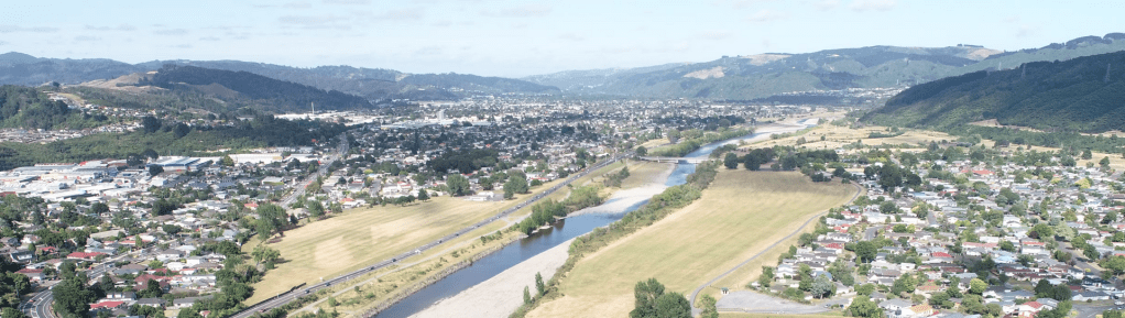
Greater Wellington and Wellington Water have both modelled the impacts of flooding in Upper Hutt. Greater Wellington has modelled the impacts of heavy rainfall on Te Awa Kairangi/Hutt River, while Wellington Water has modelled the impacts on the stormwater network and runoff on behalf of Upper Hutt City Council. Together, these maps will inform district planning, infrastructure investment, and emergency management planning.
By working with communities to understand flood risks, we can help minimise the impacts on people, businesses, and critical infrastructure
Why this matters.
Flooding is the most frequent natural hazard in our region. Understanding where flooding could happen helps councils, communities, and landowners to:
- Plan emergency responses
- Protect people, property, and infrastructure
- Make informed land use and development decisions
Greater Wellington and Wellington Water are engaging with the community together to keep things simple. We are hosting combined drop-in sessions so you only need to come to one event to discuss flooding affecting your property or neighborhood.
For more information and how to give your feedback, please click the link: https://haveyoursay.gw.govt.nz/upper-hutt-flood-modelling
Source: Greater Wellington
07/11/25
